Digitalisation and BIM in the underground complex
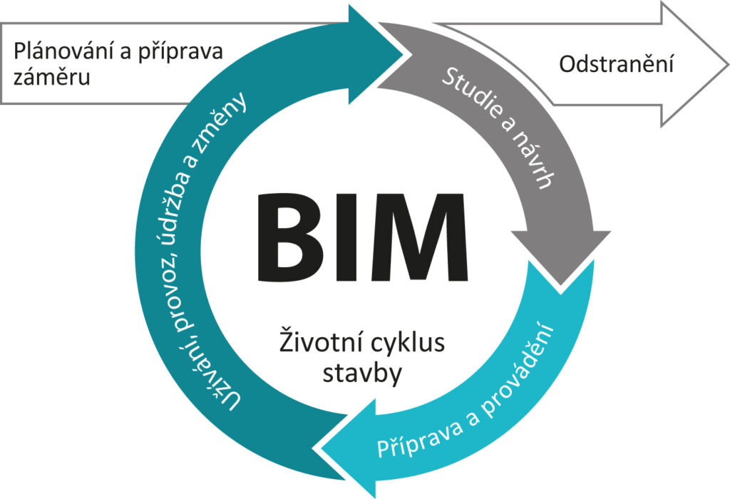
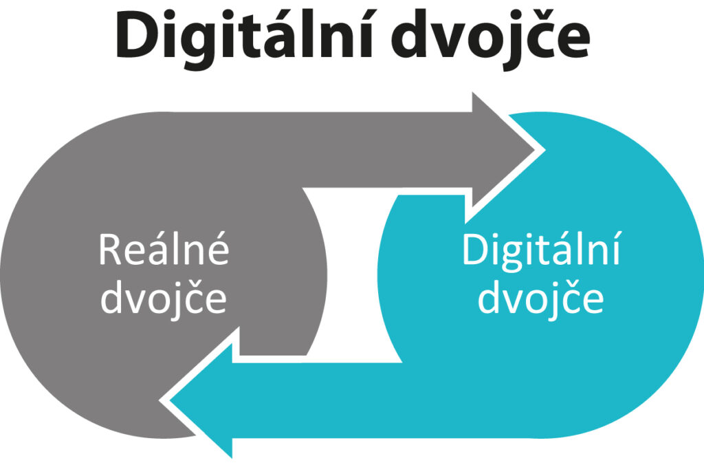
BIM (Building Information Modelling) is a procedure used for creating and managing data on construction projects throughout the whole of the construction life cycle. The building information model comprises essentially a digital model (digital twin) of the structure, including all the relevant characteristics.
The exchange and sharing of information and data on construction projects is managed via the IFC (Industry Foundation Classes) open file format, which has been developed by the buildingSMART international association. The digital model serves as an open database for information on the respective structure with concern to its design, construction and operation.
Lifelong BIM education courses are provided by the CTU, Prague. Details can be found at: https://bim.cvut.cz/wp/czv/
We are currently preparing a course focusing on underground structures for spring 2025.


In cooperation with the National Centre for Construction 4.0, we are currently preparing topics for new projects related to BIM issues in underground spaces.
Detailed mapping of the Josef gallery and the collection of 3D data have been underway since 2009 in cooperation with the Department of Specialised Geodesy of the Czech Technical University, Prague as part of bachelor and master’s study courses. The collection of measurement data involves the application of the most up-to-date 3D laser scanning systems available. The whole of the Josef gallery has been assigned a cloud of points in the Point Cloud system, which is being used in CAD/BIM technology-related experiments.
3D laser scan of the Josef gallery – a trip through the “cathedral”